Hydrographic Surveys
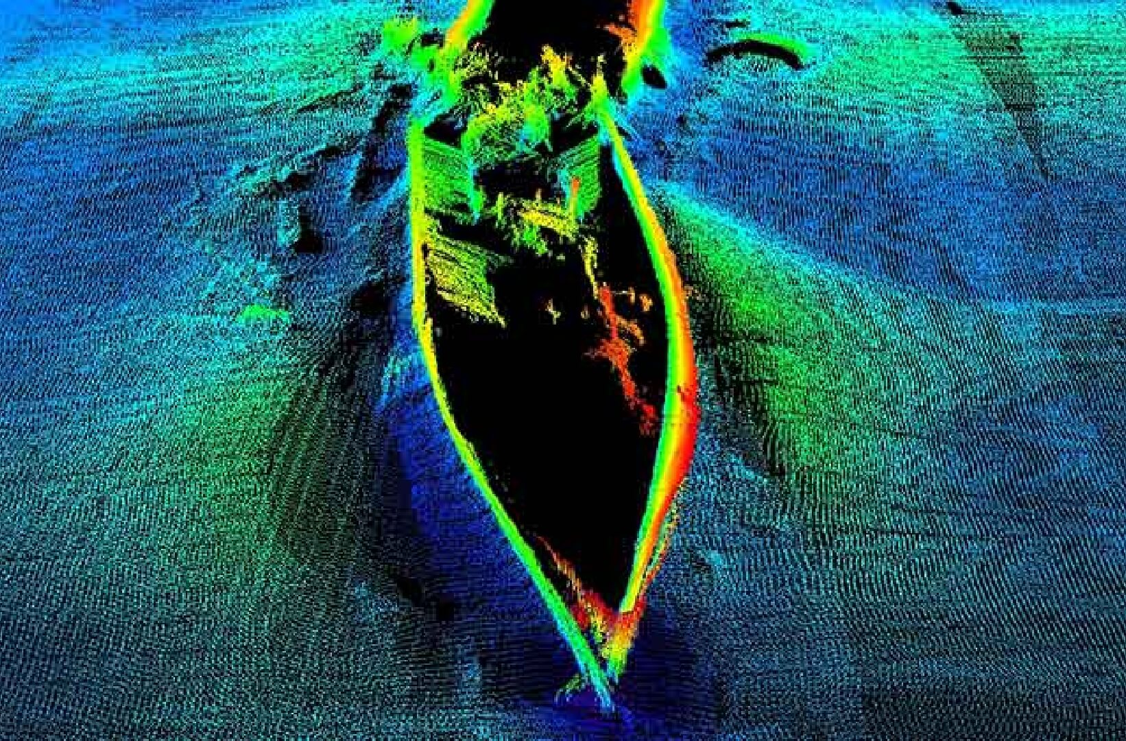
Hydrographic Surveys Horizon performs hydrographic surveys to IHO standards to gather seabed data required for navigational, engineering, and design purposes. The data is used for:
Hydrographic Surveys Horizon performs hydrographic surveys to IHO standards to gather seabed data required for navigational, engineering, and design purposes. The data is used for:
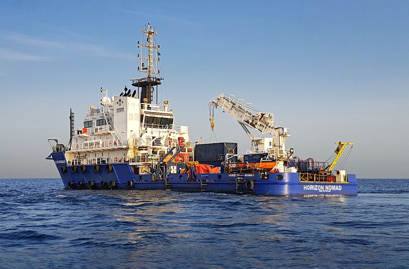
OffshoreGeophysical Survey Horizon performs geophysical surveys to gather detailed data required by design engineers for the installation of offshore structures, subsea cables and pipelines. That
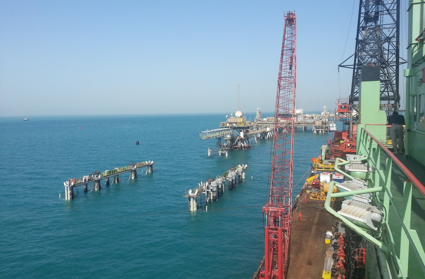
ConstructionSupport We provide construction support services to our clients to allow the safe installation of offshore assets. These activities utilise precise surface and subsea positioning
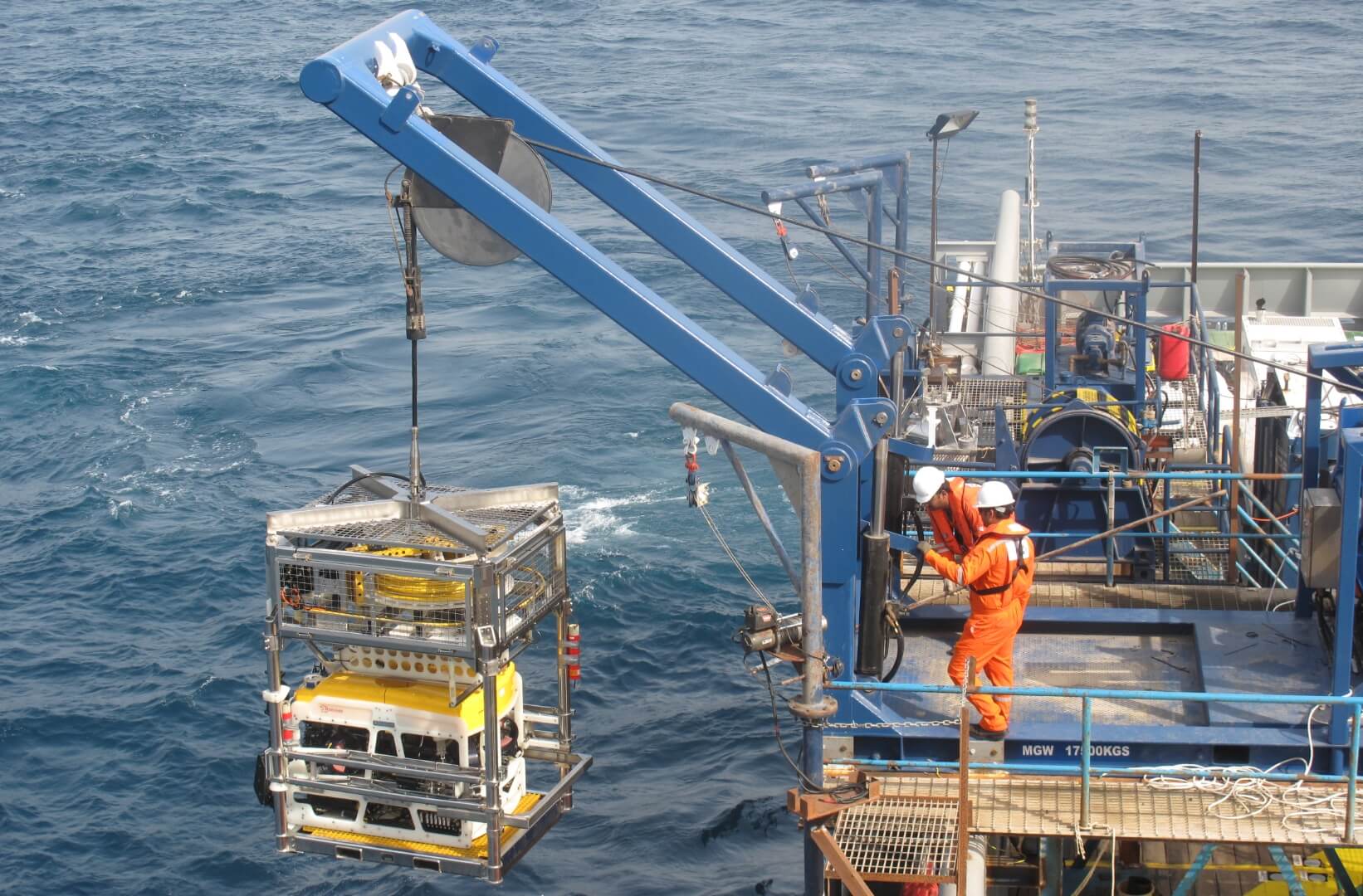
ROV SurveyInspections A Remotely Operated Vehicle (ROV) controlled from the surface, is highly manoeuvrable and able to provide video and still camera imagery along with