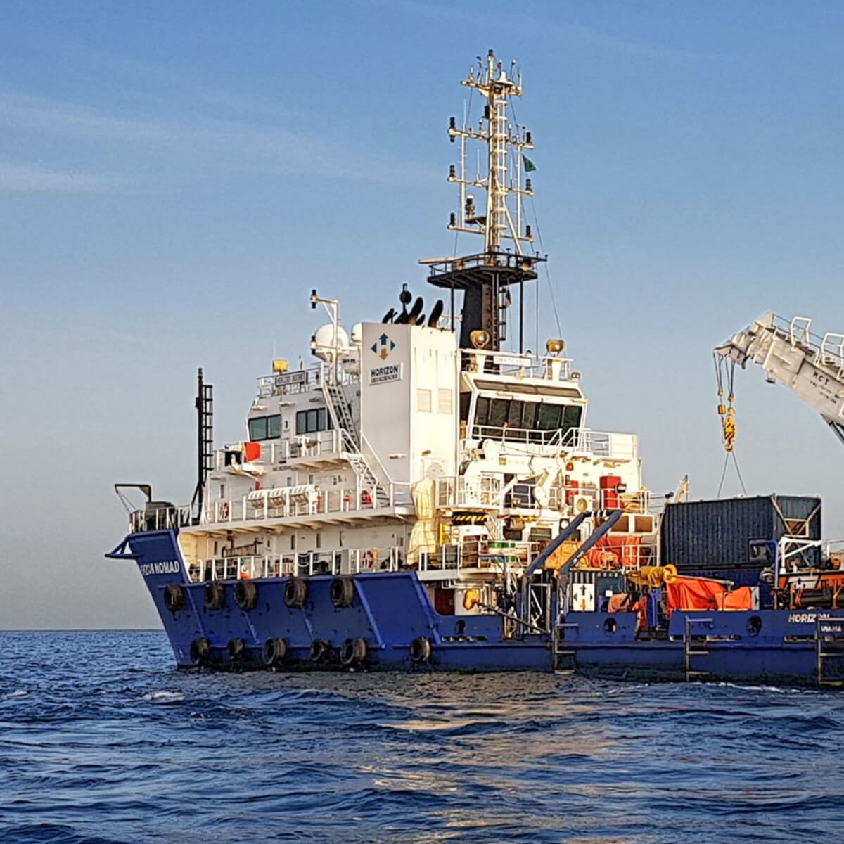
Offshore
Geophysical Survey
Horizon performs geophysical surveys to gather detailed data required by design engineers for the installation of offshore structures, subsea cables and pipelines. That data is used to:
- Map seabed morphology and sub-seabed conditions
- Profile geological features
- Detect geohazards
- Provide a seabed and sub-seabed reference for geotechnical investigations