Offshore Geotechnical Investigations
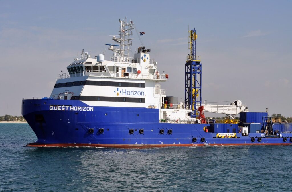
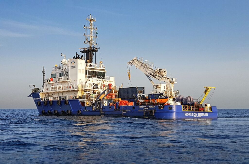
OffshoreGeotechnical Investigations Horizon performs detailed offshore geotechnical investigations to support the design, engineering and installation of the following offshore structures: Foundations for piled jackets, gravity-based structures and FPSO Jack-up rigs Jackets and platforms PLEM and SPMs Wind turbines Pipeline and cable routes Suction and drag anchors We have a fleet of offshore drilling rigs which […]
Nearshore Geotechnical Investigations

NearshoreGeotechnical Investigations Horizon performs detailed nearshore geotechnical soil investigations to support the design, engineering and installation of the following structures: Jack-up rigs Jackets and platforms PLEM and SPMs Wind turbines Pipeline and cable routes Trenching and dredging activities Port developments Bridges and causeways LNG terminals Nearshore geotechnical investigations are performed from our Self Elevating Platforms […]
Laboratory Testing
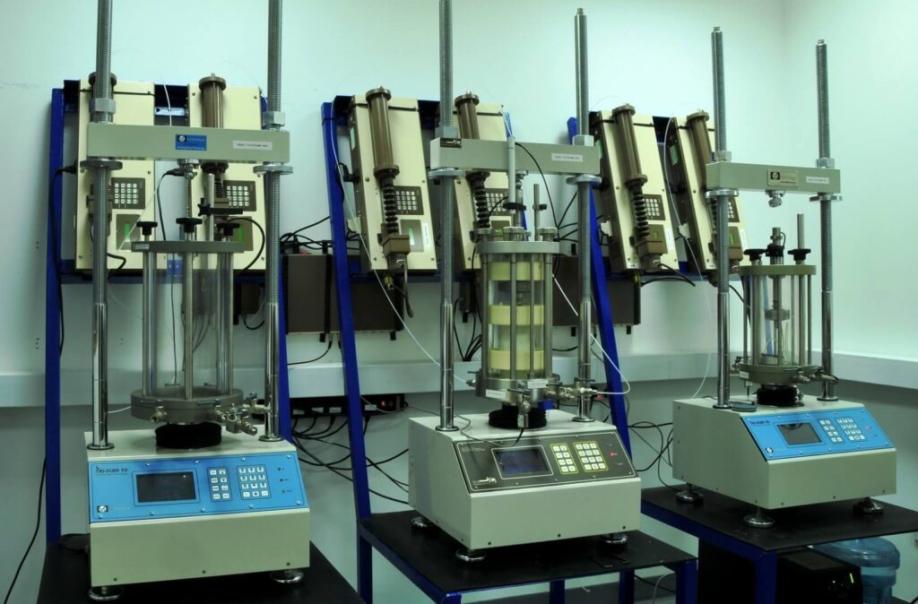
Laboratory Testing Horizon’s comprehensive soil and rock testing laboratory offers high quality geotechnical testing on samples obtained in offshore and nearshore investigations and is certified to ISO/IEC 17025:2017. The testing capability within the onshore laboratory enables engineering parameters to be measured for the latest design specifications for offshore structures including pipelines and cables routes, platform […]
ROV Survey Inspections
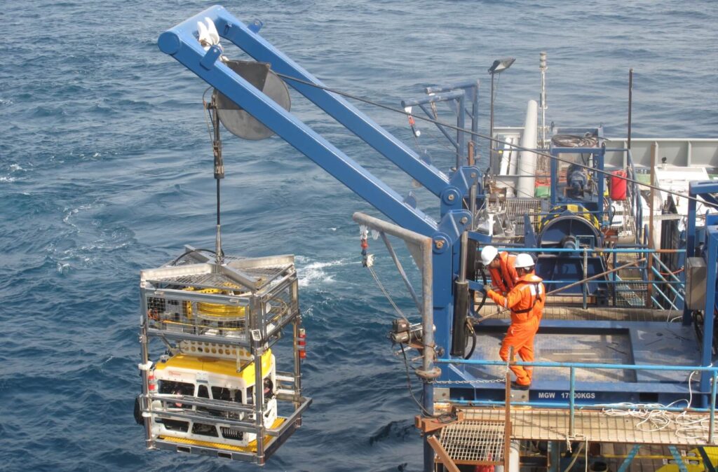
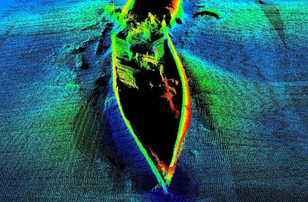
ROV SurveyInspections A Remotely Operated Vehicle (ROV) controlled from the surface, is highly manoeuvrable and able to provide video and still camera imagery along with information from various other sensors to observe, inspect, map and measure the condition of subsea assets. We operate ROVs to gather data for the following tasks: Pipeline inspection surveys (as-laid, […]
Construction Support
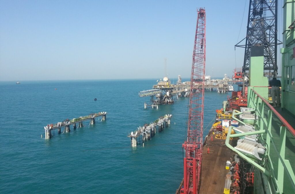
ConstructionSupport We provide construction support services to our clients to allow the safe installation of offshore assets. These activities utilise precise surface and subsea positioning data to install surface and subsurface assets. Horizon performs construction support services for our clients and can help to complete a project on time, in budget and with safe operations. […]
Offshore Geophysical Surveys
OffshoreGeophysical Survey Horizon performs geophysical surveys to gather detailed data required by design engineers for the installation of offshore structures, subsea cables and pipelines. That data is used to: Map seabed morphology and sub-seabed conditions Profile geological features Detect geohazards Provide a seabed and sub-seabed reference for geotechnical investigations We operate a fleet of owned […]
Hydrographic Surveys
Hydrographic Surveys Horizon performs hydrographic surveys to IHO standards to gather seabed data required for navigational, engineering, and design purposes. The data is used for: Site characterisation Seafloor charting Locate man-made and natural objects (debris, shipwrecks, UXO, subsea structures, coral reefs) Pre / post engineering surveys Pipeline and cable route surveys Dredging support, port and […]
Horizon Nearshore Survey Fleet
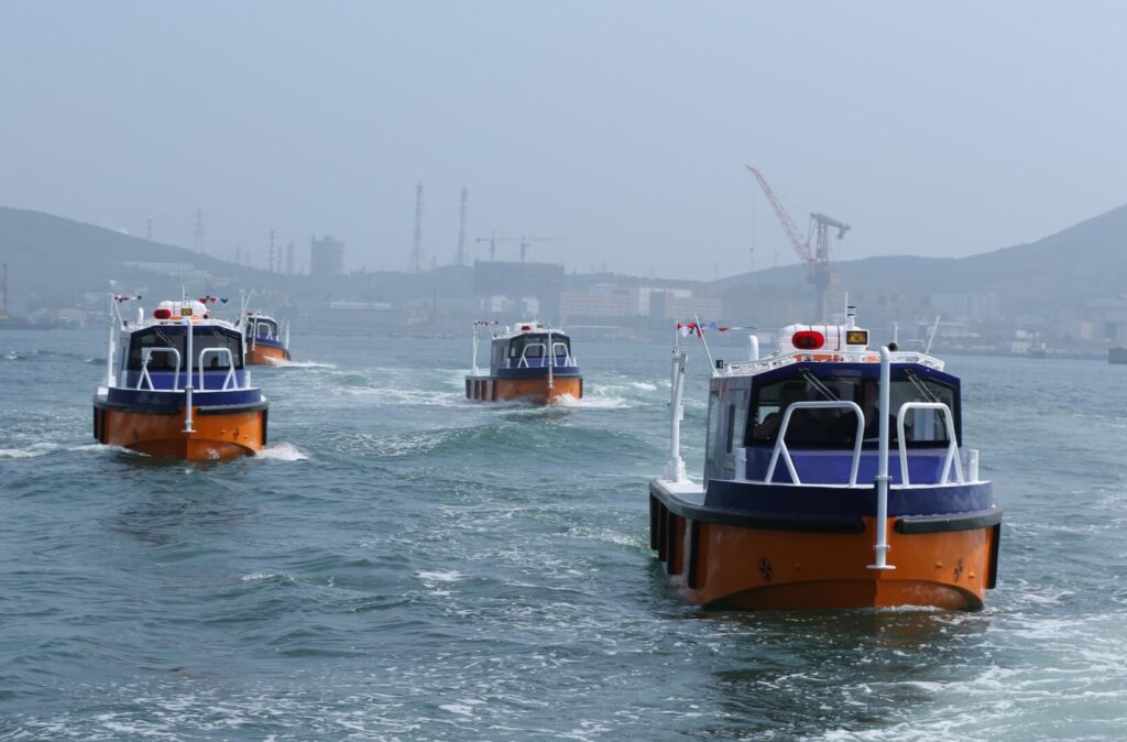
Horizon has a fleet of nearshore survey boats which are all permanently mobilised with analogue geophysical and hydrographic survey spreads.
Aqua Rise III

The Aqua Rise III” is a Self-Elevating Self Propelled Jackup and can typically operate in water depths from 1.5m to approximately 40m LAT.
H27

Horizon’s H27 Self Elevating Platform (SEP) can operate in water depths from 5m to 20m. The H27 is permanently mobilised with a drill rig and downhole testing equipment and comes fitted with an offshore laboratory.